Emu Analytics’ software has helped global airline and airports reduce delays and save millions of pounds. Now, we’re bringing the same digital twin software, Flo.w, to UK rail operators.
In both aviation and rail, minor inefficiencies can quickly snowball into major disruptions, impacting passengers, operations, and the bottom line. That’s why we’re taking what we’ve learned in aviation and applying it to rail.
We’ve spent years perfecting real-time geospatial software that help operation teams reduce delays and make faster, better decisions. They’ve been used successfully at some of the world’s busiest airports, and now they’re being used in rail, with promising early results.
Here’s a sneak peek into how our software is transferring seamlessly from aviation to rail to support more punctual, reliable, and coordinated operations.
In aviation, real-time visibility across the airside operation has been game-changing. Operations teams use our platform to monitor live movements, understand what’s happening on the ground, and respond quickly to disruptions.
In rail, just like in aviation, it’s not enough to know where your trains are, you need to know when they’re not where they should be, see it clearly, and have the right information to take the right action.
If a train stops unexpectedly, the operations team needs fast answers: where exactly is it, how many people are on board, is the train in danger of overheating, where’s the nearest access point, and what’s the safest next step?
Our software provides that full picture. It shows where trains are and gives the context teams need to act quickly and reduce disruption for passengers.
Not all delays are caused by major incidents. Often, it’s the small things, a delayed departure here, a late platform change there, that all add up and chip away at punctuality.
Our software highlights these smaller issues and reveals patterns over time, giving teams the insights they need to do targeted interventions and improve planning for the future. In aviation, this has helped reduce turnaround delays and improve schedule adherence. In rail, it’s already helping teams pinpoint what’s causing delays and informing their actions.
One of the biggest strengths of our map-based software is how visual and simple it is to use. In aviation, it’s used by different teams all across the organisation, from operations, ground handling, planning, and more, and they don’t need special training to get started. Everything is visual, clear, and easy to understand.
People can quickly see what’s going on, spot issues, and take action. Whether it's planning for the future or a live response to a disruption, the information they need is right in front of them.
This kind of accessible, real-time view helps teams make faster decisions, communicate better, and stay aligned, even when things are changing quickly.
For rail, it means that control rooms, station managers, TOCs, and infrastructure teams can all operate from the same source of truth, reducing silos and enabling joined-up decision-making to improve outcomes for passengers.
Our success in aviation has come from designing flexible, scalable software that can adapt to the unique operational demands of a fast paced industry. Now, rail operators are benefiting from the same software.
The day-to-day challenges may differ, but the goals are the same: fewer delays, better decisions, and smoother journeys by utilising geospatial data in the right way.
If you’re working on performance or punctuality challenges in rail and want to see what’s possible, contact us today.
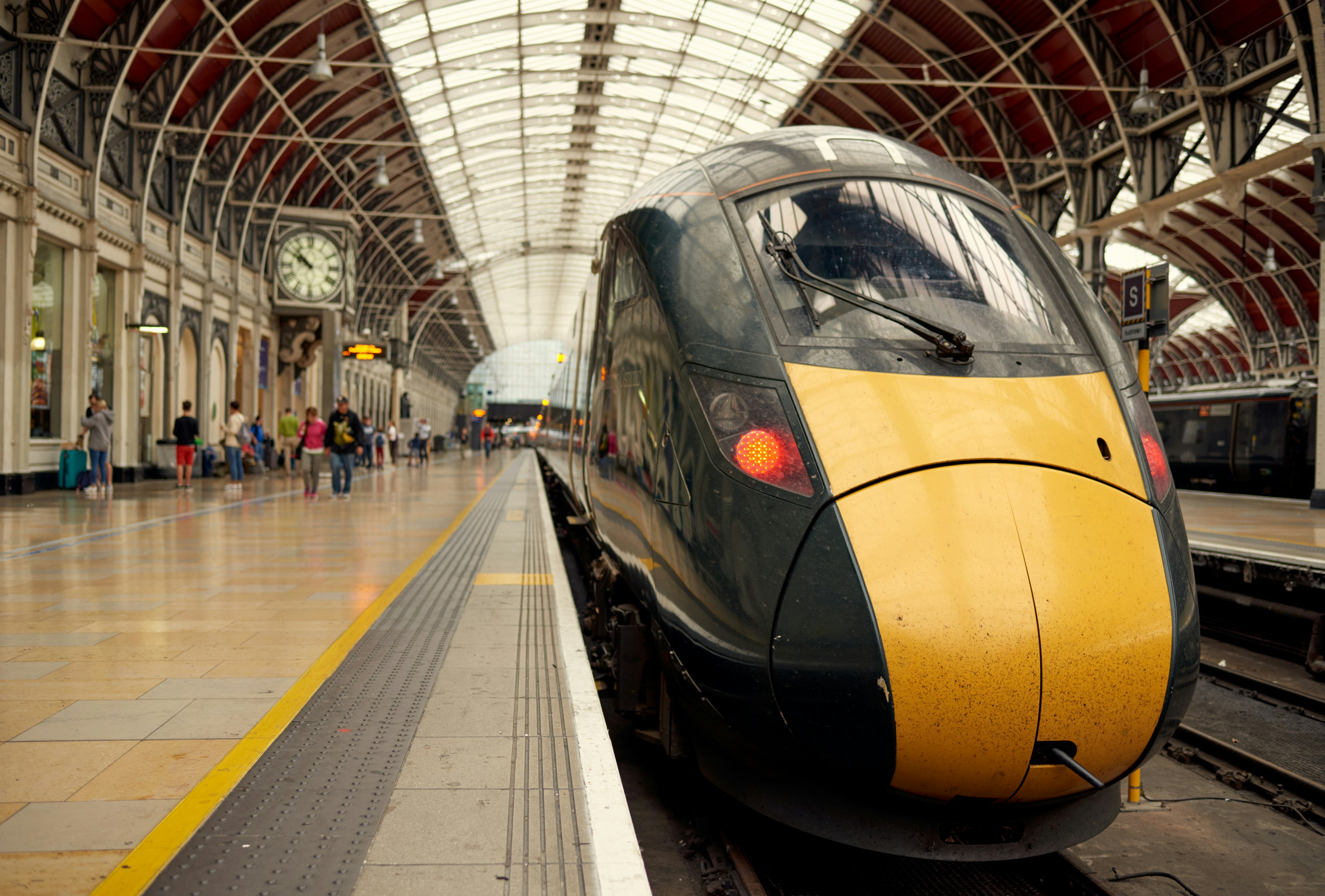
Main photo by Zach Pickering on Unsplash

.jpg)
.jpg)


%201.svg)