Emu Analytics offers enriched location data and reports available for download or purchase. Here's an overview of what's available.
GB Building Heights Data
This dataset includes building outlines, heights, roof slope, and aspects derived from aerial Lidar data analysis. It covers approximately 88% of Great Britain across England, Wales, and Scotland (updated 2022).
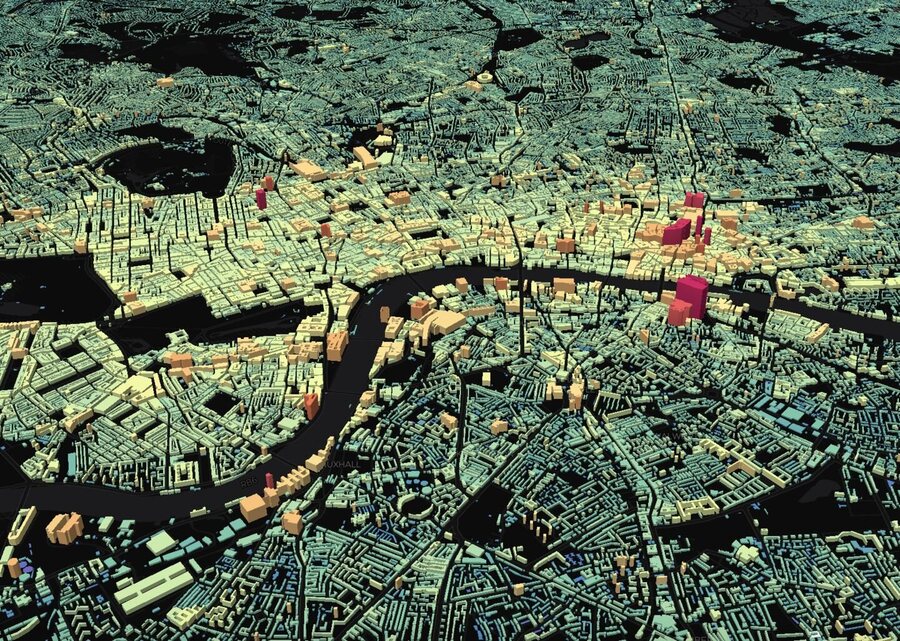
Free samples are available for Stockport and London. The full GB-wide data pack requires an annual licence at £899 plus VAT. To enquire, use the contact form and specify "Building Heights data pack enquiry" as the subject line.
London Housing Density (Free DataPack)
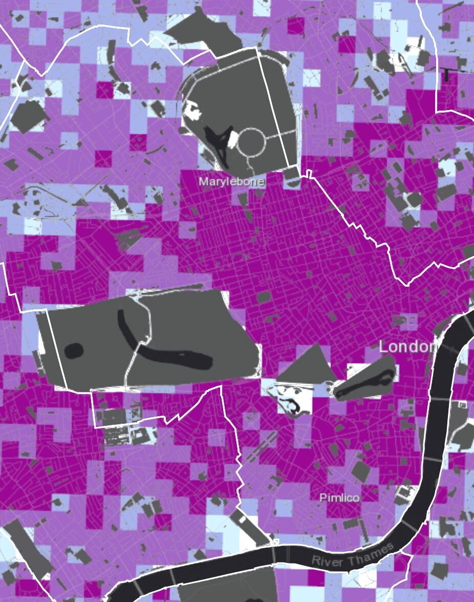
This dataset presents three representations of London's built environment: building heights per building, building density per hectare, and building volume per hectare. Data sources include the Valuation Office Agency and Ordnance Survey Open Map.
London Underground Lines (Free DataPack)
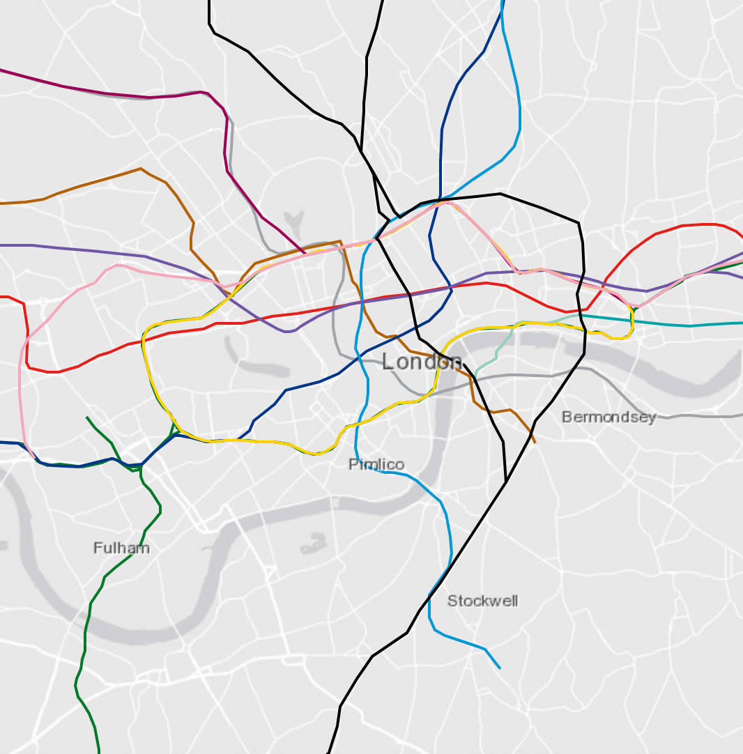
A shapefile of London Underground tube lines plotted geographically in WGS 84 format, sourced from OpenStreetMap and cleaned. Includes hex colour attributes matching TfL branding standards.
To download the free data packs or enquire about the GB Building Heights licence, get in touch at info@emu-analytics.com.